
Walk a Whatcom Street
A street directory search works best as a chain, not as one name list. The Whatcom County Property Search is the first stop for a present-day address. It links a street number and partial street name to a tax parcel and owner of record. The mailing line may differ from the situs address, which is the physical location of the parcel. That distinction matters. Ownership does not prove occupancy, and a listed mailing contact does not identify every person at the address.
- Enter the street number, a partial street name, and city in Property Search. Save the property ID or Geo ID and note the tax year shown.
- Open the County parcel viewer. Compare the parcel shape with adjacent lots, subdivisions, and any split parcels along the same Whatcom County street.
- Use the Auditor's Digital Research Room to match the current owner with the indexed deed. Confirm the legal description and instrument number.
- For authorized election research only, request the permitted district or precinct output from Elections. A voter file is not a casual household list.
- For an older occupant, consult the Polk address cross-index, Sanborn maps, permits, and newspapers. Keep the year beside every finding.
This order prevents a common mistake: treating the first name returned by a street search as the full household. A parcel record identifies a taxable ownership interest. A deed records a transaction. A directory may print an occupant. None alone supplies a complete resident roster.
Whatcom Street Search Fields
The county search offers more precision than a plain address box. Street Number and Street Name can be paired with City, while Owner Name, Property ID, Geo ID, and Doing Business As provide alternate routes. Advanced criteria cover abstract, subdivision, mobile-home park, condominium, township, range, and section. The exact dropdown choices were not exposed in the source review, so use only labels visible in the live system.
| Search field | Input | Required | How it helps |
|---|---|---|---|
| Street Number | Text | No | Narrows one address |
| Street Name | Text | No | Accepts a partial street name |
| City | Select | No | Separates repeated street names |
| Property ID / Geo ID | Text | No | Returns to a known parcel |
| Advanced criteria | Select or text | No | Filters plats and survey geography |
Search broad first. A partial name can catch a direction or suffix entered in an unexpected form. Once the correct parcel appears, repeat the search with its identifier. That makes the Whatcom County street directory trail easier to reproduce later.
See the live Property Search interface before using its current filters.
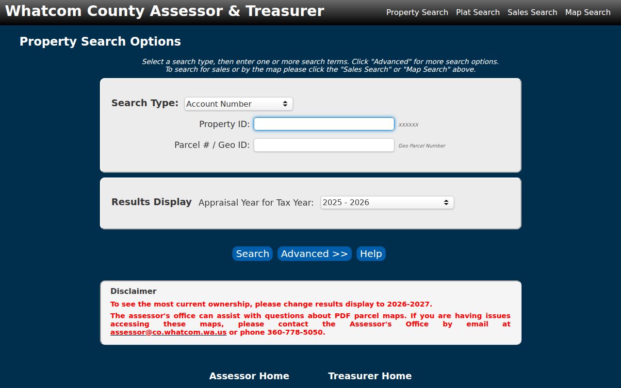
The captured search screen shows why a street number, street name, city, and parcel identifier should be recorded as separate inputs.
Map Whatcom County Parcels
The Whatcom County Map Portal adds the shape of the block. Its parcel tools and ArcGIS service include public tax parcels, subdivisions, lots, encumbrances, quarter sections, sections, townships, cell towers, mobile homes, and leasehold accounts. Query and identify tools can reveal which parcels touch the street. This is especially useful where one street number fronts a large tract or where an old lot became several current parcels.
Map geometry is for orientation. The county warns that GIS information may not be current, complete, or accurate enough for a legal boundary. Read the recorded deed and legal description before treating a line on screen as conclusive. A strong street directory note saves the layer name, access date, parcel ID, and the recorded instrument used for confirmation.
Open the official Map Portal landing page to choose the parcel viewer.
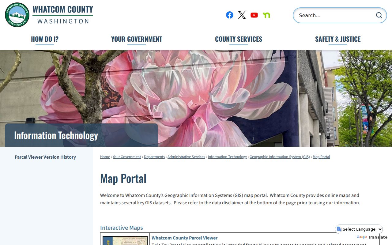
The portal image represents the public gateway; the deed remains the source for the parcel's legal description.
Whatcom Records Indexed by Address
No agency maintains one complete Whatcom County street directory. Instead, the Assessor, Auditor, City of Bellingham, postal service, library, and map offices hold separate address-keyed records. Their dates and meanings differ. Use the coverage column to decide which source fits the question.
| Record Set | Keeper | What It Shows | Access |
|---|---|---|---|
| Property and tax roll | Whatcom County Assessor | Owner, situs, mailing line, parcel | Free public portal |
| Parcel GIS | Whatcom County GIS | Lots, subdivisions, nearby geometry | Free viewer and REST service |
| Deeds and related instruments | Whatcom County Auditor | Parties, dates, legal descriptions | Online index, copies, microfilm |
| Permits and projects | City of Bellingham | Property, permit, inspection, violation tabs | Public eTRAKiT; some actions need an account |
| Polk and Sanborn sources | Bellingham Public Library | Occupant clues and building context | Directories in-house; map access varies |
The parcel identifier connects the tax roll to recorded instruments and map geometry. Street wording connects those sources to permits, postal routing, directories, and newspapers. When a record sits outside an online span, use the office counter, mail request, library, or archive rather than declaring the address absent.
Deeds Along Whatcom Streets
The Auditor's Digital Research Room provides an index and images after its disclaimer screen. Start with the current deed, then note grantor, grantee, date, instrument number, legal description, parcel reference, and any prior-document link. A grantor transfers an interest; a grantee receives it. Search the grantee backward as an earlier grantor and keep checking the legal description when names repeat.
Online material has limits. The County reports digitized images back to August 1991 and microfilm back to 1853. The State Archives land collection is indexed from October 2017 forward, with the current year possibly incomplete. For an older or missing instrument, the Auditor copy service accepts party names, an approximate date, document type, or file number by mail and at the office. Assisted pre-1980 research is available. Regular and certified copies carry the posted fees.
- Parcel
- A mapped unit used for assessment. It may not match an old lot or one building.
- Situs address
- The physical location assigned to the parcel, distinct from an owner's mailing address.
- Plat
- A recorded drawing that divides land into lots, blocks, roads, or easements.
- Criss-cross directory
- An address-first index used to find the printed occupant at a street location.
Bellingham Records by Street
Inside Bellingham, eTRAKiT exposes public tabs for permits, projects, properties, inspections, licenses, and violations. Exact public query fields were not captured in the official text review, so do not assume a filter exists until it appears on the live page. Search the normalized current address, then retain the permit number and property record when available.
A city record may identify work at an address without naming every person connected to the site. It also covers city custody, not all unincorporated Whatcom County streets. If an older city item is missing, use the Bellingham public-records route and name the department, address, record type, and date range. County requests go to the likely county custodian instead.
The live Bellingham eTRAKiT portal shows the current public entry points for city property records.
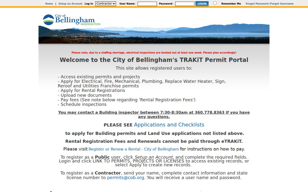
The portal capture helps identify the appropriate property or permit tab before a street address is entered and saved with its search date.
Old Names on Whatcom Streets
A present-day Bellingham search can miss a real older entry. Local house-history sources use Bellingham, Fairhaven, Sehome, Whatcom, and New Whatcom in different periods. New Whatcom and Fairhaven shared boundaries from 1890 through 1901, and records before consolidation may carry the town label then in use. Preserve that wording before trying to match a modern map.
The Bellingham Public Library property collection holds Polk directories for 1890 and 1899 to date. Starting in 1931, its address cross-index lets a researcher work from a street to an occupant. Earlier entries can describe a route, such as a street between two cross streets, rather than a modern number. Sanborn sheets add block and structure detail, while deeds test ownership.
A full treatment of those volumes belongs in the Whatcom County city directory collection. For a street search, record the directory year, printed town name, exact abbreviation, address wording, and nearby entries. Those details protect against false matches.
Fix a Blank Street Search
An empty result has a limited meaning. Try the street without its directional prefix or suffix, search a partial name, switch the city label, and use the property ID. For historical work, repeat the query under the four early town names. Parcel splits, a recent ownership update, or an image still held on microfilm can also explain the gap.
Postal history adds another trap. USPS moved many Bellingham deliveries from 98226 to the new 98229 code in 2002, and moved a small Everson group from 98247 to 98264 in 2010. Keep the old ZIP beside an old address. If a County public-record request looks implausibly empty, ask which systems and dates were searched. A January 2026 local report described an archiver glitch that required some County requests to be rerun.
Note: Save each spelling, town label, date range, and portal checked so a second search does not repeat the same narrow query.
Check Whatcom Street Routing
The USPS ZIP Code Lookup can normalize the current postal form of a Whatcom County street address. Its By Address mode uses the street, city, and state, with company and unit fields available when needed. Use that result to test spelling and routing before repeating a failed parcel or permit query. A postal match does not establish who lives at the address, and it does not draw a city boundary.
For older records, keep both versions. USPS shifted many Bellingham deliveries from 98226 to 98229 in 2002 and moved a small set of Everson deliveries from 98247 to 98264 in 2010. Replacing an old code with the current one can hide a valid directory, newspaper, or deed reference. The street directory record should show the original address, the normalized current form, each source date, and which agency supplied each version.
County GIS may also show a Municipality attribute that differs from the postal city. Treat that value as a map label, then verify city jurisdiction with the relevant municipal boundary source. This small check keeps a routing change from being mistaken for an annexation or a parcel move.
Limits of Whatcom Street Records
A tax roll shows ownership, not a complete household. A deed proves that an instrument was recorded, not that each named person still occupies the site. Postal routing does not prove a person or company is present. Polk directories may omit residents and can preserve old spellings. GIS lines are informational. These limits are why the Whatcom County street directory method compares independent sources and dates.
Washington voter data is not a general street list. Whatcom's request form requires political-purpose certification and limits commercial, advertising, and solicitation use. Protected fields are withheld. The Address Confidentiality Program may replace a participant's physical address with a substitute address. Never reverse-map or correlate that substitute to find a protected location.
Lawful use. Use Whatcom County street records only for lawful personal research. Never use an address trail to stalk, harass, intimidate, or expose a protected person.
When certainty matters, order the official copy from its custodian. The online street directory trail is a finding aid, while the Assessor, Auditor, city office, library, and postal service remain responsible for their own records.