
Looking Up Whatcom County Neighbors
Public records describe a block in layers. The parcel viewer establishes which lots touch the starting address. The assessor then supplies the owner or taxpayer name, situs address, parcel identifier, and current tax-year context. City neighborhood resources describe civic boundaries and contacts. Historical sources can show who appeared near the address in an earlier year. None is a complete household roster.
| Source | What It Shows About a Block | Access |
|---|---|---|
| County Parcel Viewer | Parcel shapes, adjacent lots and district context | Free web map; informational boundaries |
| County Property Search | Owner or taxpayer, situs, mailing address and parcel IDs | Free online portal |
| City neighborhood maps | Named neighborhood, precinct, patrol, school and fire layers | Free maps and PDFs |
| Neighborhood association index | Civic group contacts and public association links | Public index, not a member roster |
| Polk and Sanborn collections | Past occupants, street context and building footprints | Library, archive, or digital collection |
An owner may receive tax mail elsewhere, and an occupant may never appear in the tax roll. Treat mailing-address agreement as a clue, not proof. The same caution applies to a civic association: its public contact can connect someone with a group but cannot identify every household on the block. For a lawful political purpose, voter data has its own request and certification process rather than an open household search.
Whatcom Neighbor Boundaries Differ
Bellingham publishes an official list of 25 neighborhoods and map links for areas such as Barkley, Birchwood, Columbia, Cordata, Fairhaven, Happy Valley, Lettered Streets, Sehome, Sunnyland, and Whatcom Falls. The neighborhood maps page offers aerial, basemap, land-use, and zoning PDFs. These are the right tools for naming the civic area around an address.
A neighborhood line is not a parcel line or ZIP boundary. The City GIS also has annexations, the urban growth area, precincts and districts, patrol blocks, schools, and fire districts. Record the layer name and map date whenever it matters. A person across the road may share the same social block but fall within a different district or service boundary.
Mapping Whatcom County Neighbor Parcels
Start at the County Map Portal rather than guessing from street numbers. A parcel is a mapped tax unit, and adjacent parcels are the lots sharing an edge or immediate street frontage with the starting lot. The map helps find them, but its disclaimer says GIS data is for information and does not settle a legal boundary. Use the recorded deed for a legal description.
- Open the Whatcom County Map Portal and locate the full street address.
- Identify the subject parcel, then click the lots touching it and those directly across the street. Save each property or Geo ID.
- Use the Property Search to compare owner, taxpayer, situs, mailing address, and tax year.
- Mark uncertain occupancy separately. For every parcel along the named road, move to the street-level workflow.
The path is simple: address to parcel geometry, parcel ID to assessor record, owner name to recorded document. It stays focused on the immediate block. Use the Whatcom County street directory when the goal expands to the full named street and its deed chain.
The County Map Portal is the visual starting point for that block method.
The map image helps identify the official service, while parcel facts should still be checked in the current assessor record.
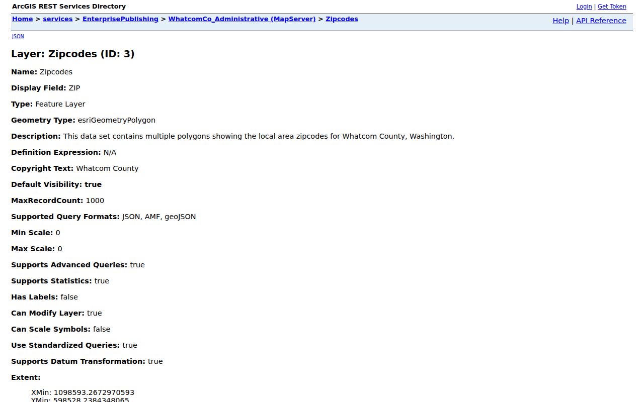
The Whatcom parcel ArcGIS service exposes the underlying property-map layers used to examine adjacent lots.
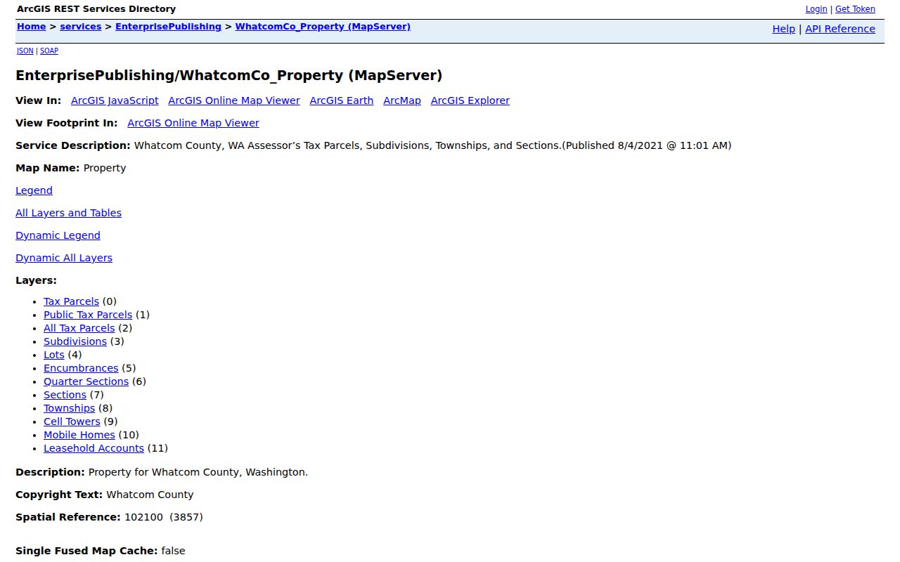
The layer listing helps document the mapped source, but it carries the same warning that GIS geometry is not a legal deed boundary.
Whatcom County Neighborhood Contacts
The Bellingham Mayor's Neighborhood Advisory Commission connects recognized neighborhood representatives with city government and meets on a regular public schedule. Its association index links many local groups, while some entries have no link or a vacant representative. It is a civic-resource list, not a directory of residents.
City neighborhood maps
Use dated neighborhood, land-use, zoning, and aerial PDFs to identify the named area around an address.
Advisory Commission
Use public representatives and association links for meetings, projects, and local civic contacts.
Historical Society
The Whatcom Historical Society offers preservation programs, publications, and research help.
Recognized groups may apply for annual city reimbursements of up to $1,000 for eligible neighborhood activity. The 2026 process calls for authorization, nonprofit and vendor details, tax documentation, and support material. That program helps explain which groups have a formal civic connection, but it still does not turn an association into a resident roster.
Official Rolls Versus Neighbor Tools
Official sources show provenance, meaning where a fact came from and which office maintains it. Commercial neighbor tools may blend old filings, address lists, and inferred relationships without making the update date clear. Use them only as leads, never as the final source.
| Source type | Best use | Main limit |
|---|---|---|
| County parcel and tax roll | Identify mapped property and named owner | Does not prove occupancy |
| City civic maps and groups | Name the neighborhood and find public contacts | No household membership roll |
| Commercial compiled data | Possible lead to verify elsewhere | Age, source, and relationship may be unclear |
For consumer safety or neighborhood curiosity, cite the official parcel ID, map date, or public group page. Do not repeat a compiled claim about a person until an accountable custodian confirms the underlying record.
Past Neighbors on Whatcom Blocks
Bellingham Public Library's Polk directories add an address cross-index from 1931 onward. That makes it possible to start with a house number, identify a printed occupant, then check nearby entries in the same year. Earlier rows can describe a street segment instead of a modern number. Search the historical labels Whatcom, Fairhaven, Sehome, New Whatcom, and Bellingham when a current place name fails.
Pair the directory with Sanborn maps, which show blocks, building footprints, construction details, and uses. The Library of Congress has a public-domain 1904 Bellingham set with 83 sheets covering Bellingham, Fairhaven, and Sehome. Those sources can establish block context in a particular year, not ownership or a complete social relationship.
Voter Data Is Not a Block Directory
Whatcom Elections can supply voter-list or matchback output through a documented request form. The requester provides identifying details, selects election history or district fields, signs a political-use certification, and pays the applicable cost. Washington law prohibits commercial and solicitation use. That controlled process should not be recast as a general tool for finding neighbors.
VoteWA helps an individual check or update personal registration. Whatcom Elections also accepts paper, email, fax, and in-person registration routes. Protected voters and Address Confidentiality Program participants require special care. If a source signals protection, stop rather than trying to connect the substitute address to a physical home.
Community Context Beyond the Block
The Center for Pacific Northwest Studies at Western Washington University holds more than 300 archival collections. Family papers, organizational records, photographs, correspondence, diaries, oral histories, and maps can give a block historical context that a current parcel screen cannot. The Center is onsite and appointment-based at the Goltz-Murray Archives, and its older map catalog descriptions are available by request because not all maps are digitized.
These sources matter when the question is how a neighborhood developed or which group shaped it. They do not identify today's occupants. For current facts, return to the assessor, City map, or the relevant public office. For historical context, contact the Center for Pacific Northwest Studies and record the collection title used.
Privacy for Whatcom County Neighbors
Public parcel data does not reveal every occupant, family member, guest, or renter. Utility details, delivery records, and protected physical addresses are not a public neighborhood roll. A tax mailing address can belong to an owner who lives elsewhere. Keep that distinction visible in notes and never label an unverified person as a current neighbor.
Washington's Address Confidentiality Program provides eligible participants with a substitute address while protecting the physical location. The substitute address itself may appear in public workflows. It must never be used to reverse-engineer where the participant lives.
A careful Whatcom County neighbors search also respects time. Parcel ownership may update after the deed index, an association contact may change between meetings, and a neighborhood map can carry a different revision date from the parcel layer. Save the date shown by each source. If two records conflict, ask the office responsible for that record instead of choosing the more convenient answer. Do not contact every name found on a block or publish a compiled address list. The useful end point is a well-sourced answer to a specific personal, civic, or historical question, not a new private directory of the people nearby.
Lawful use. Look up Whatcom County neighbors only for lawful personal, historical, civic, or safety purposes. Never watch, harass, threaten, or expose another person.